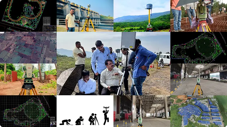
Affordable, Precise & Fast Land Surveying
Get government-approved, high-accuracy land surveys done quickly and
at affordable prices.
at affordable prices.

Plotting & Infrastructure Surveys

Public & Private Sector Projects

Advanced Tech: Total Station, DGPS & Drones
Talk to a land survey expert.
Why Choose Us
- Licensed & Insured Surveyors
- Fast Turnaround & Competitive Pricing
- Advanced Tech: Total Station, DGPS & Drones
- Local Knowledge of Regulations
- Accurate Reports for Permits & Planning
- Great Customer Service & Transparent Communication


About Us
Trusted Land Surveyors with Years of Experience
At Yogeshwar Associates, we specialize in high-precision Land surveys for plotting, infrastructure, and government works. Our team uses Total Station, DGPS, and drones to deliver fast, accurate, and approved surveys.
- PMC, PCMC Registered Vendor
- Latest Drone & DGPS Equipment
- Trained Surveyors + Drafting Team
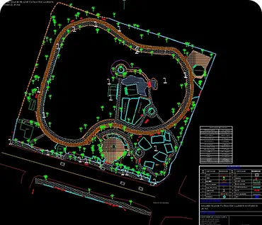
- End-to-End Support: Raw Data to Final Drawings
Clients
0
+
Experience
0
+ Years
Rating
0
Our Services

Boundary Survey/ Land Measurement Survey

Topographic Survey

Construction Staking

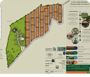
Plotting Survey and Consultancy

Architectural / Contour Survey

Road and Utility Lines Survey

Architectural Surveys
Aerial Drone Survey
We have the expertise to conduct a 400-acre land survey in one go, using advanced drone technology to deliver high accuracy and fast results.
Reviews

Swapnil Khandve
Extremely professional and accurate land survey services!
We hired Yogeshwar Associates for a topographic and boundary survey, and their team delivered precise results using drone and total station equipment.

Mokshada lokhande
Yogeshwar Associates offers very comprehensive services!
Their team clearly has a deep understanding of their fields. They answer all your questions thoroughly and provided valuable recommendations.

Sanket Vibhute
I wholeheartedly recommend Yogeshwar Associates for anyone seeking top-notch construction, interior design, and surveying services. They did the excellent job by using drone survey.

Parag Sutar
Very Good & Professional Service provided By Omkar Ji.
Best wishes…

Karan Thange
best drone survey company in it’s segment

sd l
Great coordination and very helpful staff!
Very satisfied with technical support.

Ramkrushna Bawche
Its my carrier point
FAQ
How Much Does a Land Survey Cost?
Prices vary based on property size and type of survey. Request a free quote today.
Why is a Private Survey Required Before a Government Survey?
A government survey records only what exists on-site at the time of inspection. It does not verify whether your property boundaries and measurements truly match your ownership documents such as the 7/12 extract or sale deed.
If a mismatch is discovered later—after the government report is finalized—rectifying it becomes a long and costly process, often requiring the entire survey to be repeated.
A private survey acts as a safeguard. By identifying discrepancies in advance, it allows you to correct and align your documents with the actual ground reality before the official survey. This proactive step not only saves you valuable time and money, but also ensures that your property records remain accurate, reliable, and free from future disputes.
YOGESHWAR ASSOCIATES
Get Reliable Land Surveying Services – Fast, Accurate & Affordable.